

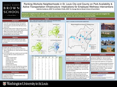
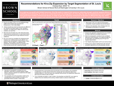
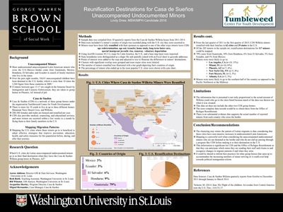
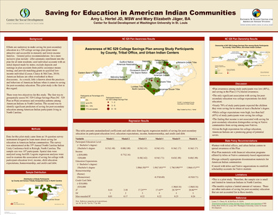
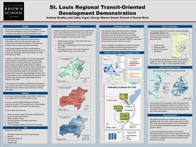
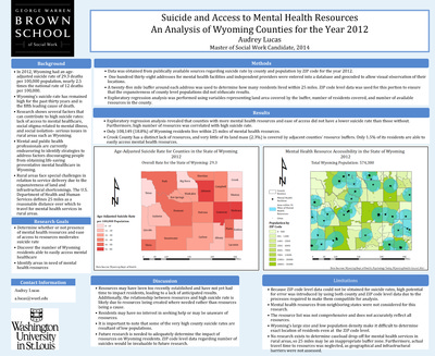
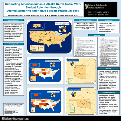
Course description: This course will familiarize students with the basic knowledge of geographic information systems (GIS) and their application to social work practice and research. The course is organized around three primary areas: 1) conceptual; 2) technical; and 3) data management. A conceptual overview of GIS is presented to provide students with foundational knowledge about the theory, purpose, function, and applicability of GIS in practice and research settings. Students will develop critical thinking skills necessary to devise research questions appropriate for a GIS, to develop a GIS, interpret the findings, and to evaluate the spatial relationships between variables.
-

Socio-Ecological Correlates of Depressive Symptoms in China
Horyan Lai
12-1-2011This project explores the relationship between city level characteristics and the likelihood of having depressive symptoms, controlling for individual and household factors.
-

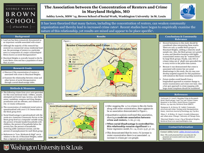
Vacant Buildings & Violent Crime in St. Louis City
Robin Cheskin
12-1-2011This project explores the geographic correlation between violent crime and vacant buildings in St. Louis City.